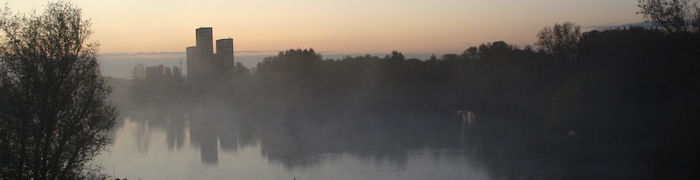
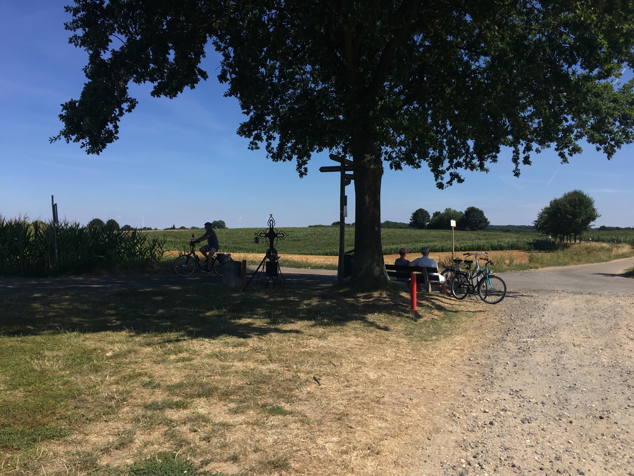
The Maarten van Rossumpad (LAW 4) is named for the 16th century soldier (c. 1478 – June 7, 1555) who laid waste to The Hague in 1528, amongst many other cities he sacked in the course of his long and bloodthirsty career, fighting for the Dukes of Guelders and (later) for the Emperor Charles V (but mainly for his own profit).
The route starts in 's-Hertogenbosch and heads via Rossum and Zaltbommel - both places where van Rossum lived - up to Wageningen, then skirts round the southern and eastern sides of the Veluwe via Arnhem, where van Rossum owned the "Duivelshuis" and Apeldoorn, where he bought castle Het Oude Loo, to Zwolle (passing another van Rossum residence at Vaassen), before ending up in a push north to Meppel and Steenwijk (sacked and burnt in 1524). In the course of 390 km, it thus comes through quite a variety of different "typically Dutch" landscapes.
Even the authors of the guidebook to the route aren't really convinced that van Rossum deserves to be commemorated in this way, but it's an interesting and varied route. Like the Pieterpad, it's managed by NIVON, who also publish the official guidebook - the 4th edition appeared in March 2018 (as with the Pieterpad, the GPS routes on Wandelnet aren't completely up to date, it's worth checking with the book and the updates on the NIVON site before setting off).
Having come across bits of it on various other walks, especially around Arnhem and along the Vecht in Overijssel, I was curious to see where it went, and started doing a few stages here and there in the course of May 2019, after finishing the Pelgrimspad. Unlike the Pieterpad and Pelgrimspad, I'm not making any serious effort to do the stages in order, though.
- Maarten van Rossum (Wikipedia)
- Maarten van Rossumpad (Wandelnet)
- Maarten van Rossumpad (NIVON)
Stages
As usual, these are the stages as I actually walked them, not necessarily as recommended in the guidebook.
| No | From | To | km | km total | Walked |
| 1 | Den Bosch Station | Oud-Empel | 16.9 | 16.9 | |
| 2 | Oud-Empel | Rossum | 16.5 | 33.4 | |
| 3 | Rossum | Waardenburg | 13.5 | 46.9 | |
| 4 | Waardenburg | Waddenoijen | 22.2 | 69.1 | |
| 5 | Waddenoijen | Ravenswaaij | 18.1 | 87.2 | |
| 6 | Ravenswaaij | Lienden | 20.7 | 107.9 | |
| 7 | Lienden | Wageningen | 14.9 | 122.8 | |
| 8 | Wageningen | Heelsum | 17.1 | 139.9 | 01/06/19 |
| 9 | Heelsum | Arnhem | 20.9 | 160.8 | 02/06/19 |
| 11 | Arnhem | Laag-Soeren | 25.8 | 186.6 | 06/06/19 |
| 12 | Laag-Soeren | Beekbergen | 15.7 | 202.3 | |
| 13 | Beekbergen | Apeldoorn | 16.6 | 218.9 | 22/08/19 |
| 16 | Apeldoorn | Vaassen | 15.4 | 234.3 | |
| 17 | Vaassen | Hoornerveen | 23.1 | 257.4 | 31/05/19 |
| 18 | Hoornerveen | Hattem | 12.4 | 269.8 | 30/01/20 |
| 19 | Hattem | Ittersum | 2 | 271.8 | |
| 20 | Ittersum | Dalfsen | 24 | 295.8 | 25/05/19 |
| 21 | Dalfsen | Ommen | 17.6 | 313.4 | 22/05/19 |
| 22 | Ommen | Balkbrug | 21 | 334.4 | 24/05/19 |
| 23 | Balkbrug | Rogat | 22 | 356.4 | 27/05/19 |
| 24 | Rogat | Havelte | 18 | 374.4 | 21/06/19 |
| 25 | Havelte | Steenwijk | 16.5 | 390.9 | 22/06/19 |
- Details
- Category: Walking
After finishing the Pieterpad in summer 2018, I did some more walking in Zuid Limburg, which as well as the Krijtlandpad brought me into contact with another long-distance route through the Netherlands, the Pelgrimspad.
This runs from Amsterdam, via 's-Hertogenbosch (Den Bosch), to Maastricht. It takes a more westerly route than the Pieterpad, so you come through rather more "characteristic" Dutch scenery - polders, canals, windmills, big rivers - in the northern part of the route, then the Kempen (heath) country of North Brabant before you get into Limburg. It's fun to start in the middle of the busy city of Amsterdam and fight your way out into the country (although it doesn't really get properly peaceful until Day 3, when you're walking along the upper reaches of the river Amstel). Also unexpectedly fun to discover on Day 14 that you've just walked from Schiphol to Eindhoven Airport...
There's also an alternative end section that instead of finishing in the city of Maastricht takes you on to the Belgian border and links up with other international routes, including the Camino de Santiago.
My Walk
I walked the first few stages of this route in Autumn 2018, then picked up the thread again about six months later. As of the beginning of May 2019, I'd completed about three-quarters of the walk; the rest was done in the next couple of weeks, apart from the stages in the Maas valley (Thorn-Roosteren-Sittard) which I probably won't do this year, because there's a major civil engineering project going on there to make the river more flood-tolerant, and by all accounts the walk won't be much fun until that's all settled down a bit.
The stages in the table are those I actually walked - as usual I made a few small changes from the suggested stages in the official guidebook, mostly for reasons of public transport accessibility:
| Day | Pt | No | From | To | km | km total | Walked |
| 1 | 1 | 1 | Amsterdam CS | Schiphol Oost | 18.8 | 18.8 | 19/09/18 |
| 2 | 1 | 2 | Schiphol Oost | De Kwakel | 12.4 | 31.2 | 20/09/18 |
| 3 | 1 | 3 | De Kwakel | Aarlanderveen | 16.9 | 48.1 | 22/09/18 |
| 4 | 1 | 4 | Aarlanderveen | Reeuwijk | 16.3 | 64.4 | 08/10/18 |
| 5 | 1 | 5 | Reeuwijk | Haastrecht | 18.4 | 82.8 | 09/10/18 |
| 6 | 1 | 6 | Haastrecht | Groot-Ammers | 16 | 98.8 | 11/10/18 |
| 7 | 1 | 7 | Groot-Ammers | Hardinxveld-Giessendam | 23 | 121.8 | 04/04/19 |
| 8 | 1 | 8 | Hardinxveld-Giessendam | Rijswijk NB | 18.9 | 140.7 | 05/04/19 |
| 9 | 1 | 9 | Rijswijk NB | Nederhemert Noord | 21.6 | 162.3 | 08/04/19 |
| 10 | 1 | 10 | Nederhemert Noord | Drunen | 16.8 | 179.1 | 09/04/19 |
| 11 | 1 | 11+12 | Drunen | Den Bosch | 29.2 | 208.3 | 10/04/19 |
| 12 | 2 | 1 | Den Bosch | Haaren | 18.9 | 227.2 | 16/09/18 |
| 13 | 2 | 2 | Haaren | Middelbeers | 20.3 | 247.5 | 23/04/19 |
| 14 | 2 | 3 | Middelbeers | Steensel | 21 | 268.5 | 24/04/19 |
| 15 | 2 | 4 | Steensel | Heeze | 23.7 | 292.2 | 26/04/19 |
| 16 | 2 | 5 | Heeze | Maarheeze | 25 | 317.2 | 29/04/19 |
| 17 | 2 | 6 | Maarheeze | Weert | 14.7 | 331.9 | 30/04/19 |
| 18 | 2 | 7 | Weert | Thorn | 26.4 | 358.3 | 03/05/19 |
| 19 | 2 | 8 | Thorn | Roosteren | 13.4 | 371.7 | |
| 20 | 2 | 9 | Roosteren | Sittard | 18 | 389.7 | |
| 21 | 2 | 10 | Sittard | Voerendaal | 24.9 | 406.6 | 07/05/19 |
| 22 | 2 | 11 | Voerendaal | Schin op Geul | 21.6 | 436.3 | 10/05/19 |
| 24 | 2 | 13 | Schin op Geul | Maastricht | 22.1 | 458.3 | 13/05/19 |
| 24a | 2 | 14 | Cadier en Keer | Mesch | 13.9 | 472.2 | 14/05/19 |
| 24b | 2 | 15 | Mesch | Visé | 11.7 | 483.9 | 14/05/19 |
- Details
- Category: Walking
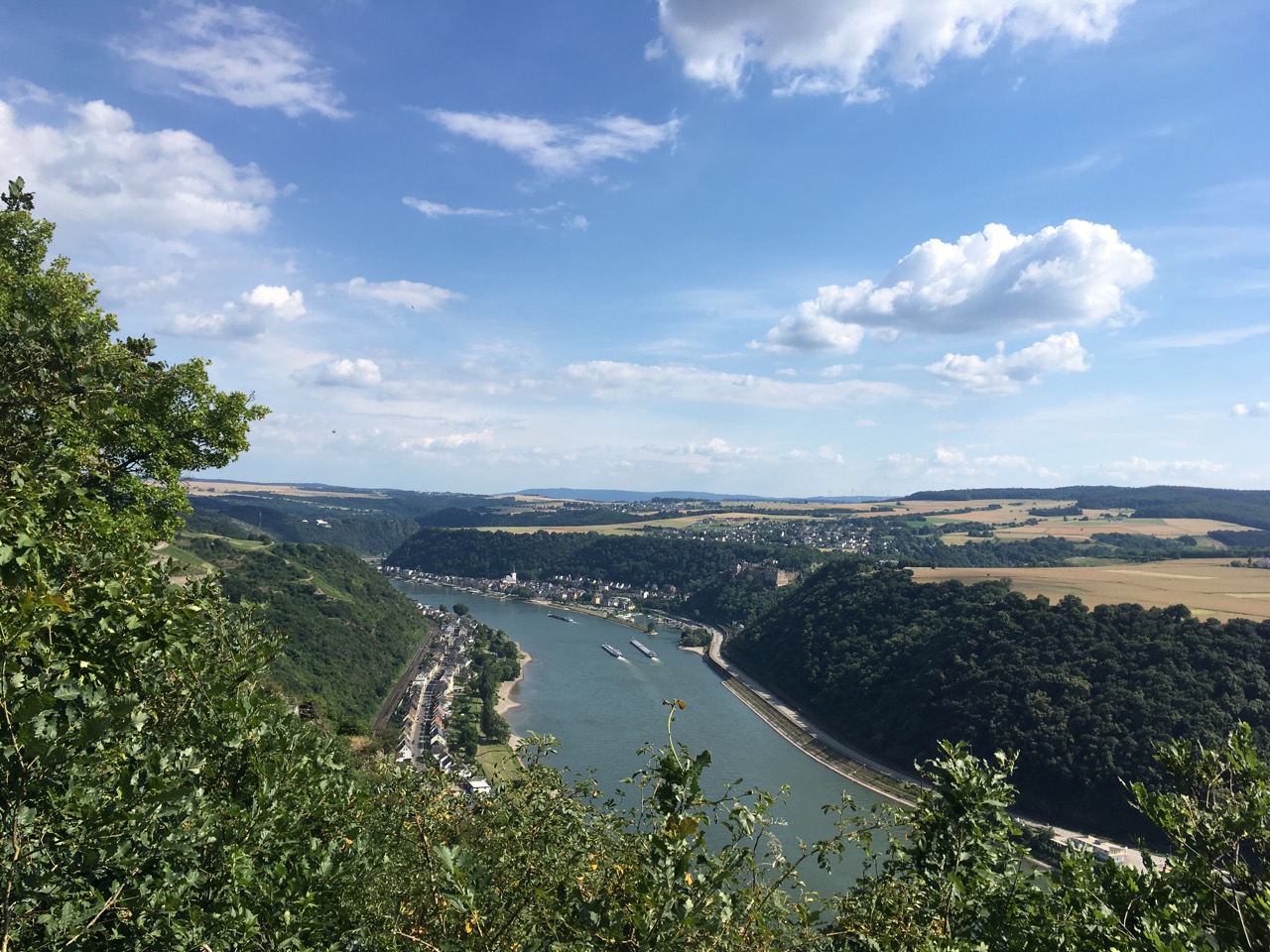
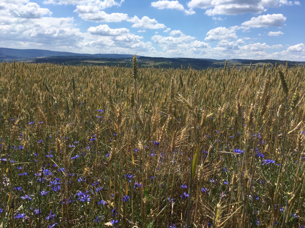
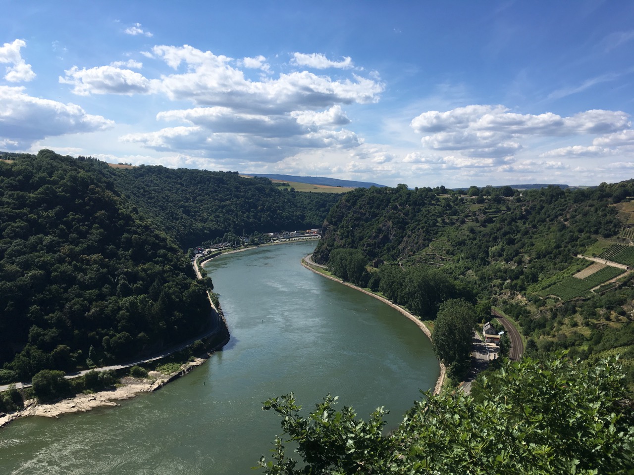
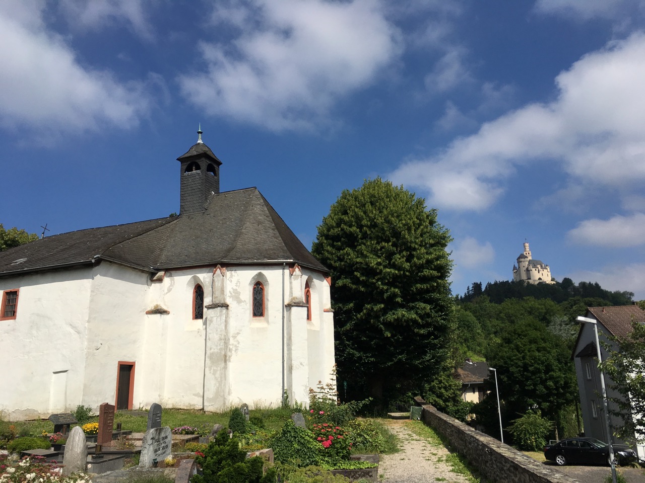
The Rheinsteig is a long-distance walking route that follows the east side of the river Rhine from Bonn to Wiesbaden, about 320km in all. As the “-steig” bit of the name implies, it doesn’t content itself with dawdling along the river-bank (where there are already busy roads, railways and bike-paths), but climbs up into the surrounding hills, often following steep and adventurous paths, and providing spectacular views over the river valley.
We walked the most famous section of the route, through the Oberes-Mittelrheintal world heritage site, between Braubach and Lorch (76km), over four days. Tough walking, by my standards, but very rewarding. We stayed in St Goarshausen and used trains (and the ship, one day) to get to and from the walks. We also spent one day visiting a couple of castles (Marksburg and Rheinfels) and doing a circular walk around St Goar on the other (west) side of the river to get views across to the Loreley.
Official Rheinsteig site: www.rheinsteig.de
The route is well-marked, with the main route indicated by Rheinsteig symbols in blue, and feeder routes to villages and places of interest off the main route indicated by yellow markers. Where there is a suggested bad-weather alternative to one of the more challenging sections, there are signs to indicate this as well. Something to watch out for when you're planning a tour is that the "stage-points" in the official listing are on the main route, which doesn't always go down into the towns you'll actually be starting from, and sometimes (e.g. at Kamp-Bornhofen) does a lengthy loop around above them, with multiple points where you can join or leave the route. The distance and amount of ascent you actually do walking from one town to another could be quite different from what you see on the website or in guidebooks.
As is typical in Germany, there is a generous provision of benches, picnic tables, shelters, information displays and the like along the route, and the viewpoints are usually kept clear of obstructing vegetation. All the Rhine valley towns have railway stations, with local services at least once an hour, and most can also be reached using the scheduled passenger ships of the KD line (and various competitors) during the summer months.
There are interesting walks on the other side of the river as well, of course, but it’s tricky to combine walks on both sides, as there are no bridges between Koblenz and Rüdesheim and ferries are quite widely spaced. “Up one bank and down the other” is really only feasible for cyclists.
- Details
- Category: Walking
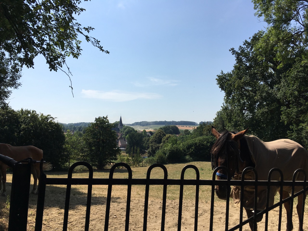
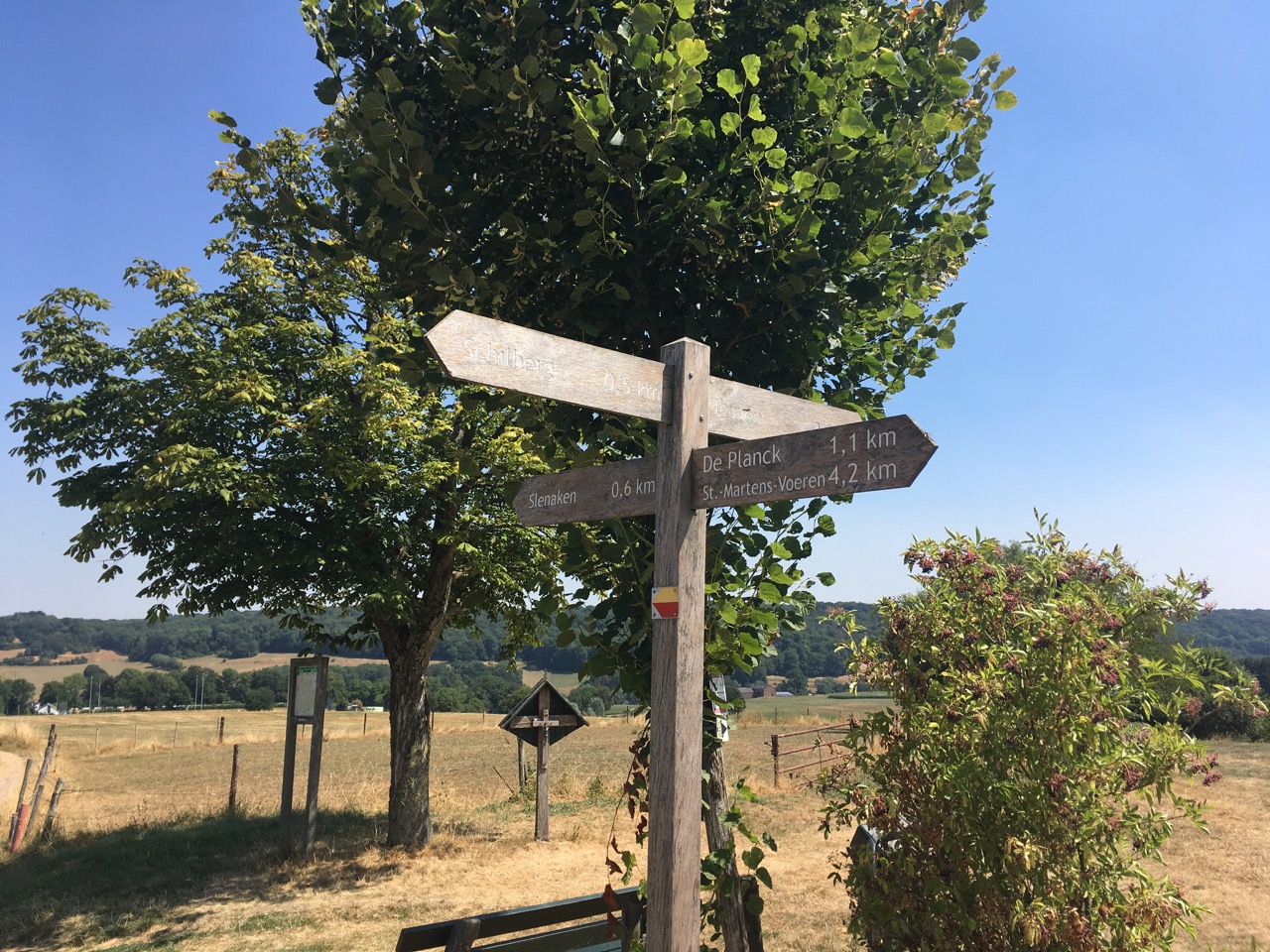
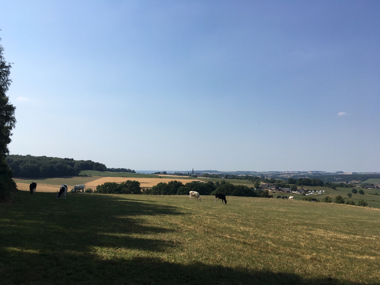
The Krijtlandpad (chalkland trail) is a regional trail that takes you on a circuit of the chalk plateau of South Limburg in five main stages totalling 93km, starting in Maastricht, and taking you right across to the point where the Netherlands, Belgium and Germany meet in Vaals, on the outskirts of Aachen. There's also an 8km link-route across the circuit that allows you to break it up into shorter tours.
I walked most of the route in August 2018 in four stages: Eijsden to Slenaken; Slenaken to Vaals; Vaals to Gulpen and Gulpen to Maastricht. To make best use of bus services along the route I substituted Eijsden for Mariadorp and Gulpen for Scheulder as stage-points; this doesn't throw the stage-lengths out very much compared to the "official" version. I've left out stage 1, along the Maas, for the time being - it looks rather less interesting than the rest, and it's too short for a full day in summer, but I'll probably come back to it at some point.
I found it a very enjoyable walk, even in the hot, dry weather we had this summer, and I'll certainly be coming back to it. Stages 2 and 3 roughly follow the Belgian border and have quite a bit of woodland in them, whilst stage 4 and the first part of stage 5 are mostly villages and high open farmland. After braving the minor tourist-hell of Valkenburg (more comical than annoying, really), the last part of stage 5 then takes you along the wooded flanks of the Geul valley before sneaking into Maastricht past a series of abandoned quarries. There's plenty of up and down all the way (including the highest point in the Netherlands, 328m, at the triple frontier in Vaals), lots of views, and a surprising amount of peace and quiet when you consider what a popular and well-known area Zuid Limburg is.
| From | To | km | Date |
| Maastricht | Eijsden | 12 | |
| Eijsden | Slenaken | 20 | 02/08/18 |
| Slenaken | Vaals | 21.9 | 03/08/18 |
| Vaals | Gulpen | 16.5 | 05/08/18 |
| Gulpen | Maastricht | 22.2 | 11/08/18 |
| 80.6 |
- Krijtlandpad on Wandelnet (route maps and link for buying the guidebook)
Impressions
- Details
- Category: Walking
A condensed summary of my progress along the Pieterpad in 2018.
The numbers refer to the stages in the current version of the Pieterpad guide, Parts I and II. The distances are the "official" stage distances in the Guide - in places these differ a little bit from those of the GPS route and/or those given on the Pieterpad website, probably mostly due to rounding errors.
I generally stuck to the stage-points suggested in the Guide for my day-walks, except where there were very short stages:
- I combined stages 1 and 2, walking from Pieterburen to Groningen in one day (total 31km, but it saved doing the long journey to Winsum two extra times)
- I combined stages 12 and 13, walking from Holten to Vorden in one day (total 28km)
- I reduced the four unequal stages between Groesbeek and Venlo (stages 18-21) to three days of about 24km each by shifting the stage-points to Afferden and Meerlo, which turn out to be quite convenient points for buses.
The week of 10-16 June was when I came closest to "proper" long-distance walking, hitting the trail on six days out of seven, and covering about 25% of the route. I was enjoying it, otherwise I wouldn't be doing this!
Between 24/6 and 30/6 I was on a pre-planned walking holiday in Germany, so I had to take a break from the Pieterpad with only five stages to go.
I completed the 13 stages of Part I (238 km, 48% of the route) on 6/6/18.
I completed Part II on 10/7/18, 66 days after starting Part I.
I spent 23 days walking in all, averaging about 22km of the official route per walking day (plus a few extra km I didn't count here and there to link to public transport and to get back to Maastricht at the end of the final stage).
| Guide Part | Stage No. | From | To | Guide length/km | Date last walked | Notes |
| I | 1 | Pieterburen | Winsum | 12 | 05/05/18 | 1 and 2 combined |
| I | 2 | Winsum | Groningen | 19 | 05/05/18 | 1 and 2 combined |
| I | 3 | Groningen | Zuidlaren | 21 | 09/05/18 | |
| I | 4 | Zuidlaren | Rolde | 18 | 18/05/18 | to Assen (=+6km) |
| I | 5 | Rolde | Schoonloo | 18 | 21/05/18 | |
| I | 6 | Schoonloo | Sleen | 24 | 23/05/18 | |
| I | 7 | Sleen | Coevorden | 21 | 27/05/18 | |
| I | 8 | Coevorden | Hardenberg | 19 | 26/05/18 | out of seq. because of a bus strike |
| I | 9 | Hardenberg | Ommen | 21 | 02/06/18 | |
| I | 10 | Ommen | Hellendoorn | 21 | 03/06/18 | to Nijverdal (=+2km) |
| I | 11 | Hellendoorn | Holten | 16 | 08/04/18 | out of sequence - "prologue" |
| I | 12 | Holten | Laren | 15 |
06/06/18 |
12 & 13 together |
| I | 13 | Laren | Vorden | 13 | 06/06/18 | 12 & 13 together |
| II | 1 | Vorden | Zelhem | 17 | 10/06/18 | |
| II | 2 | Zelhem | Braamt | 18 | 11/06/18 | |
| II | 3 | Braamt | Millingen | 24 | 12/06/18 | |
| II | 4 | Millingen | Groesbeek | 20 | 13/06/18 | |
| II | 5 | Groesbeek | Gennep | 14 | 15/06/18 | |
| II | 6 | Gennep | Vierlingsbeek | 19 | 15 & 16/06/18 | split at Afferden ferry |
| II | 7 | Vierlingsbeek | Swolgen | 22 | 16 & 22/06/18 | split at Meerlo |
| II | 8 | Swolgen | Venlo | 21 | 22/06/18 | |
| II | 9 | Venlo | Swalmen | 23 | 02/07/18 | (also walked previously on 23/04/17) |
| II | 10 | Swalmen | Montfort | 21 | 05/07/18 | |
| II | 11 | Montfort | Sittard | 24 | 06/07/18 | |
| II | 12 | Sittard | Strabeek | 22 | 09/07/18 | |
| II | 13 | Strabeek | St Pietersberg | 17 | 10/07/18 | loop back to Maastricht via Kanne (BE) |
- Details
- Category: Walking
Page 1 of 3