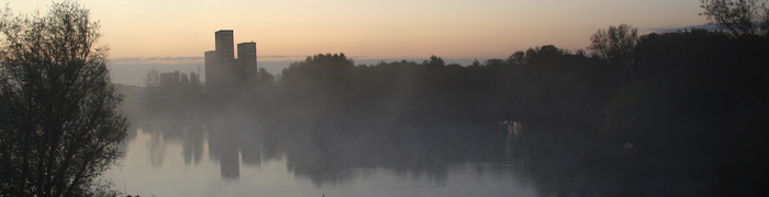
The Netherlands is a flat, densely-populated country, much of which is either heavily urbanised or intensively farmed. Everything is criss-crossed with roads and cycle paths. So perhaps it’s not the first place that comes to mind when you’re thinking about going walking. The bike is a much more obvious option for outdoor recreation here.
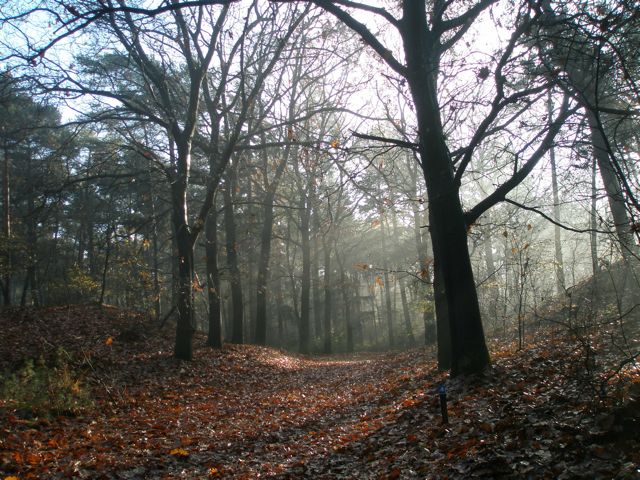
On the other hand, when you look closely, there are quite a few areas with a lot to offer the walker: in particular the dunes along the North Sea coast and the large area of higher, sandy ground, mostly covered in woods and heaths, lying to the east of Utrecht and Amersfoort are both very easily accessible from the Randstad. Many Dutch people are keen walkers, and even if they mostly walk on holiday in France, Switzerland, or wherever, they still like to have somewhere to walk closer to home, with the result that a very comprehensive network of marked local and national walking trails has developed over the last few years.
A lot of the walks I do are based on railway walks (ns Wandelingen), which link together bits of long-distance routes to produce station-to-station (or sometimes station-to-bus-stop) walks of a reasonable length for a day or half day. You can download and print the descriptive leaflets, or get them from the nearest staffed station to the start of the route (see the link below). Something to be aware of is that the directions in the leaflet and the waymarks for the purely ns parts of the route are only provided for one direction. National long-distance routes (law: red/white) are normally marked for both directions, as are some, but not all, regional routes (Streekpad: red/yellow). If you reverse an ns route (e.g. because the train connections are better that way) you will have to rely on your map and gps.
A minor drawback of ns walks is that they are quite popular: even if you meet no other walkers all day, there is bound to be someone else who arrives on your train and is going exactly the same way as you, at roughly the same speed.
Useful links
- www.eropuit.nl/wandelen — ns “days out” site. For each walk you can download and print the map and directions — some now also have gps routes.
- Wandelplatform - LAW — the national coordinating body for long-distance walking routes: you can see the routes on Google maps and order the official guidebooks (these can also be found in most good bookshops).
- gpsies.com — site with a lot of downloadable walking and cycling routes; can also be used to plan your own walks (tip: select the “osm cycle” map to see footpaths)